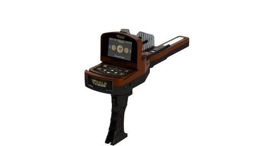
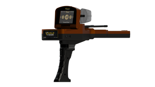
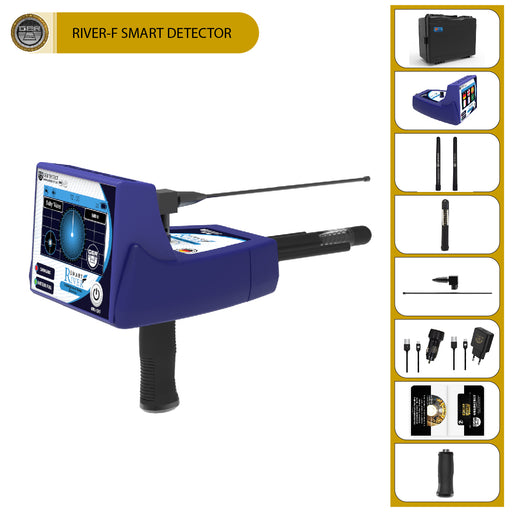
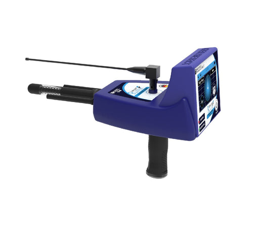
Geophysical – uses ground probes for resistivity data collection. For large metal detection, void location with graphical separation of metal targets from voids and other geological features. Geophysical system comes with 4 probes as standard or optional 22 probes (sold separately).
Geo Examiner locator processes digitally the signal from pairs of transmitting & receiving probes continuously. When using probes, the signal is electrical, induced direct into the ground. GPR ground radars and VLF metal detectors at the opposite have electromagnetic wave type of signal that is transmitting aerial, towards the ground, therefore loses in penetration ability occur as it is absorbed from ground minerals – wetness.
The Geo Examiner electrical signal provides more effective ground coverage compared to the metal detectors, much like X rays, scanning completely the area between the probes. Once Geo Examiner signal meets ground resistance, it is attracted by the route of least resistance to travel from the transmitter to receiver probes. If masses of gold / precious metals are found in the signal path, they attract the signal as good conductors, producing low electrical resistance. Ground voids, tombs due to the traped air and dug ground, are bad conductors and produce high electrical resistance to Geo Examiner signal. The resistivity signals are converted to low data for metal targets and high data for voids on the screen. Older geophysical detectors operated with single transmitter / receiver probe, resulting to poor resolution. With Geo Examiner the signal outputs from 2 transmitters towards 2 receivers.
The software processes an average from the 2 received values, and optimized depth, sensitivity and detection for difficult targets is achieved. Before starting the scan, the user zeroes the ground data, for example the mineral and wetness readings, so their resistivity value is displayed as zero and does not interfere with the scan. Geo Examiner signal amplifier has 8 gain levels, for professional users to select the stronger according the soil level of difficulty.
COMPUTER CONTROLLED DATA SCAN MODES
- Auto scan: Readings are captured automatically at intervals selectable from 1/sec to 100/sec.
- Manual scan: Using the capture key.
- Real time data graphics for both modes.
DEPTH
- Geophysical : 1 – 30 m. Increases with the distance between the probes.
COMPUTER CONTROLLED DATA SCAN MODES
- Auto scan: Readings are captured automatically at intervals selectable from 1/sec to 100/sec.
- Manual scan: Using the capture key.
- Real time data graphics for both modes.