MAP, TRACK, SYNC AND SHARE YOUR TREK FROM ANYWHERE
This all-in-one app is made for off-the-grid adventurers and outdoor enthusiasts alike. Download to your compatible smartphone so you can plan, navigate and review your next great adventure.
No cell service? No Wi-Fi® connectivity? No problem. The app is your off-grid navigation solution.
Pair the app with compatible GPS devices to sync and share waypoint and trip data1.
Load up and take off _x0097_ with downloadable maps and other go-anywhere navigation aids.
Access data on the Garmin Explore website to plan and share activities with friends.
Text via satellite. Pair the app with inReach® enabled devices2 for messaging and 24/7 SOS.
Unlimited cloud storage makes it easy to collect, review, save and share your adventures3.
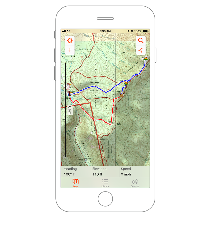
OFF-GRID NAVIGATION
The Garmin Explore ecosystem lets you use your mobile device for outdoor navigation, trip planning, mapping and more _x0097_ with or without Wi-Fi or cellular service.
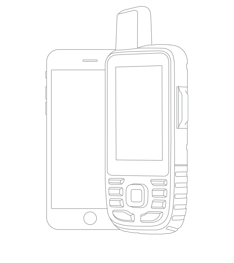
PAIR, SYNC AND SHARE
With Garmin Explore, you can pair your smartphone or tablet with a compatible Garmin device to sync and share data for off-grid adventures. Use downloadable maps for navigation anywhere.
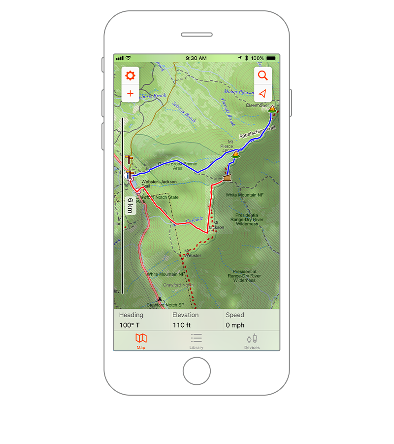
EASY TRIP PLANNING
Plan for your next journey by downloading maps and creating routes on the app. Or access the Garmin Explore website on your computer, then sync the data with your mobile device, and go.
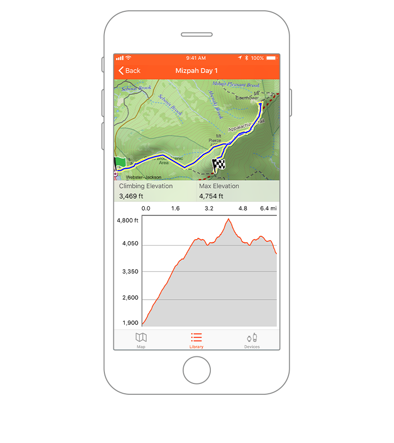
ACTIVITY LIBRARY
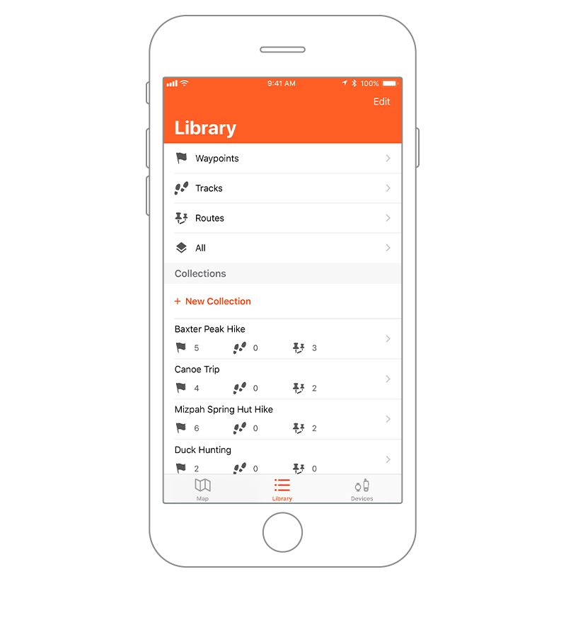
Review and edit your waypoints, tracks, routes and activities in the app_x0092_s library. Select and manage items from this page into organized collections for future reference.
SAVED COLLECTIONS
The collections list allows you to quickly find all data related to any trip _x0097_ making it easy to sort and locate the route or location you_x0092_re looking for.
CLOUD STORAGE
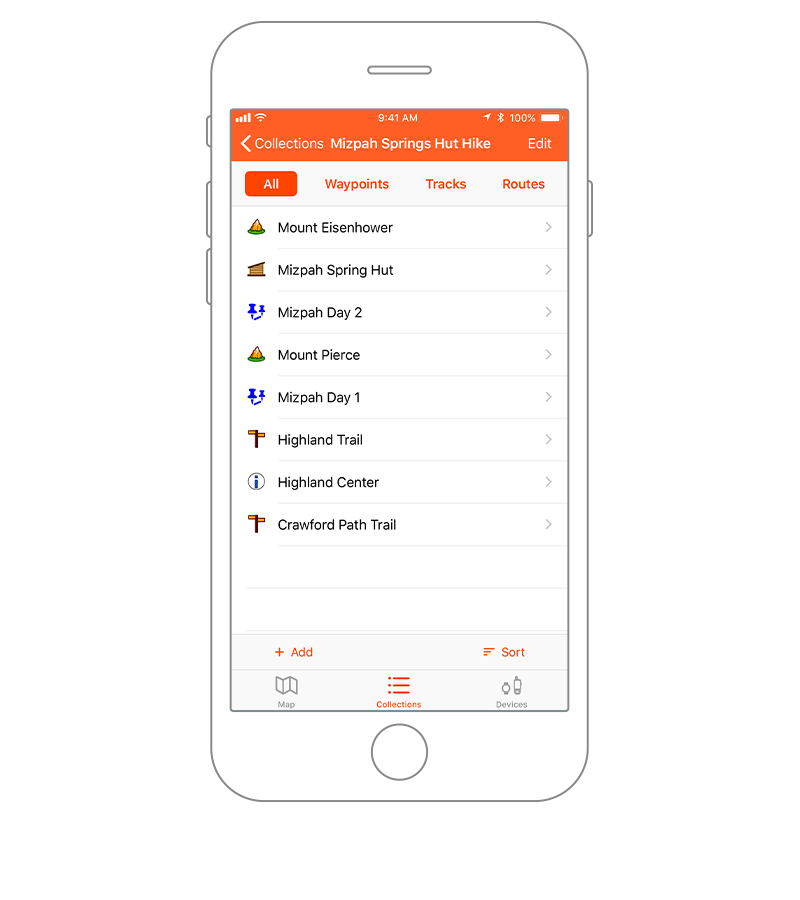
The routes you_x0092_ve created will automatically sync to your Garmin Explore web account when you_x0092_re within cellular or Wi-Fi range, preserving your activity data with cloud storage3.
MORE MAPS
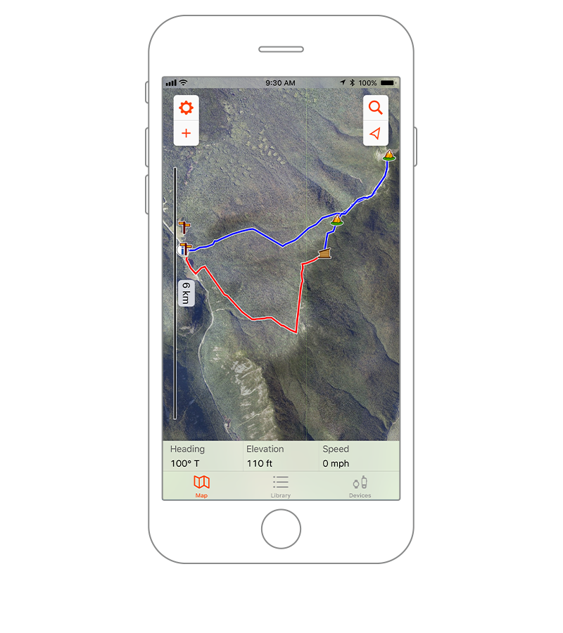
Download detailed topographic and street maps, color aerial imagery4, USGS quad sheets4 and other navigation aids directly to your compatible mobile device.
INREACH CONNECTIVITY
Certain inReach enabled devices, such as the GPSMAP® 66i handheld (sold separately), can be paired with Garmin Explore for global messaging through the Iridium® satellite network from your phone or tablet.
INTERACTIVE SOS
In an emergency, an inReach device connection with Garmin Explore lets you trigger an interactive SOS to the GEOS 24/7 emergency response center directly from the app. Satellite location tracking is also available.
PHONE CONTACT LIST
Pairing an inReach enabled device with the Garmin Explore app allows you to access your phone_x0092_s contact list for messaging _x0097_ so you can connect globally with fewer keystrokes.
Bring man_x0092_s best friend on the adventure.
REAL-TIME DOG TRACKING
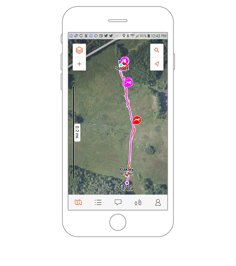
Track up to 20 collars or devices, and see them all in real time on your compatible mobile device.
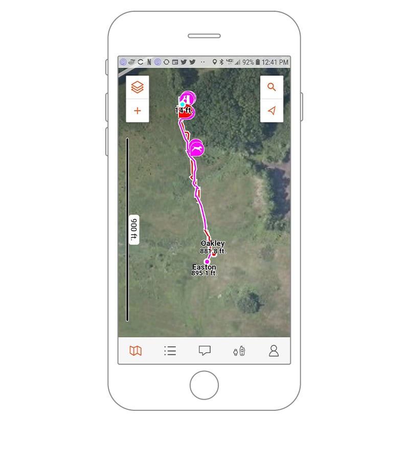
SAVE YOUR HUNT DATA
You can record and store each hunt in its own collection, which will automatically be saved to the cloud for easy access when you need it.
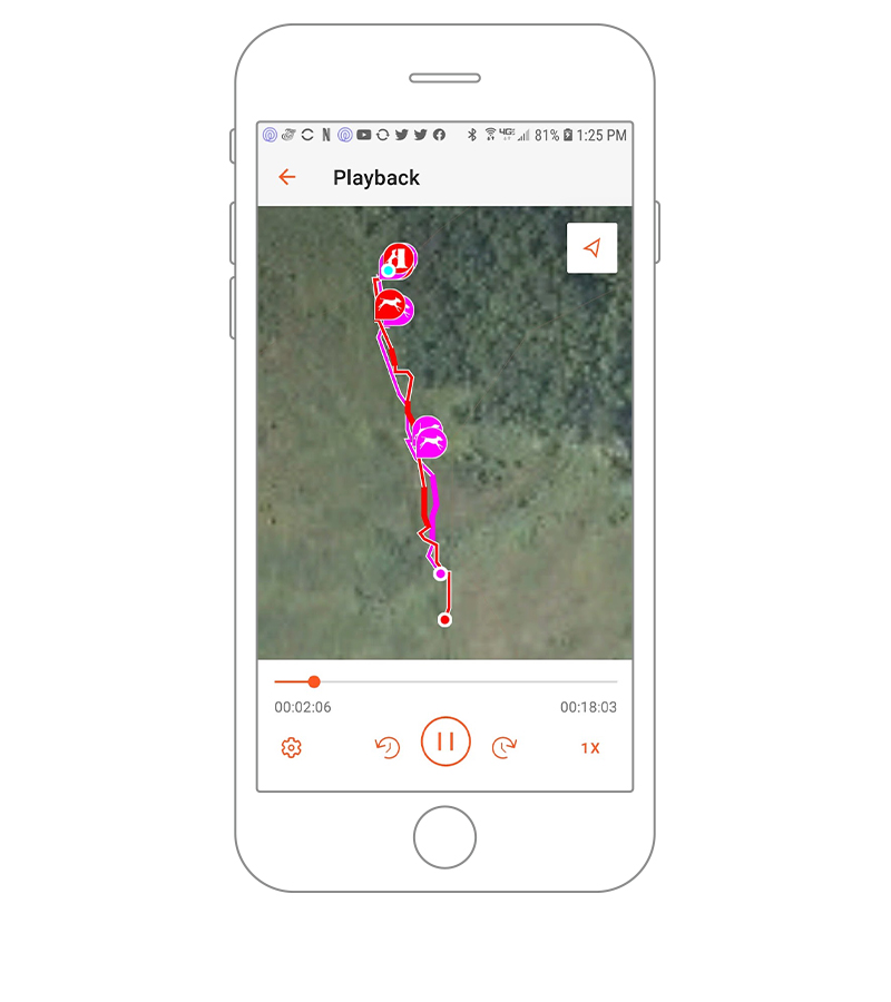
ACTIVITY PLAYBACK
View your hunt activities or individual dog tracks on your compatible mobile device when you_x0092_re done.
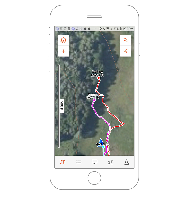
CUSTOMIZABLE TRACKING LINES
Change the colors of the tracking lines for each dog based on speed threshold, so you can clearly see when a dog starts the chase.

